Studying the geographical features and the terrains is a dynamic and complex science. Design Presentation leads the way when it comes to offering advanced LiDAR mapping services, which are based on the principles of digital elevation modeling. We have a team of experienced and trained professionals in the field of LiDAR mapping, and deploy them to provide a wide range of services in the area of Spatial Technology, Geographic Information Systems (GIS) and other geospatial solutions.
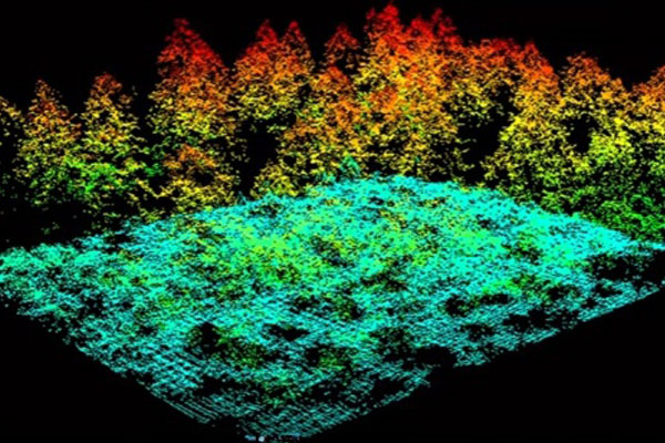
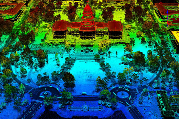
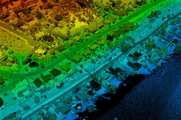
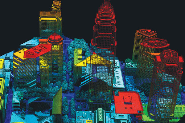
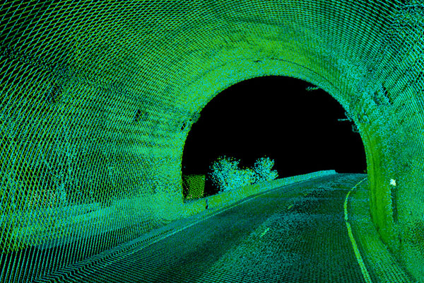
By way of background, LiDAR (Light Detection and Ranging) is essentially a 3D point cloud of a terrain. This point cloud is created by targeting a geographic area with pulsed laser beams and measuring the reflected pulses with a sensor. We combine LiDAR with GIS data and other survey information to create models and renderings of structures and surfaces. We provide a range of services related to the processing of LiDAR point cloud data, such as BE (Bare Earth) classification, utility classification, topographic and land use classifications. We have been providing our LiDAR data processing services to clients in the US and Europe at highly competitive rates. We also integrate LiDAR data with other types of data, including photographic imagery.
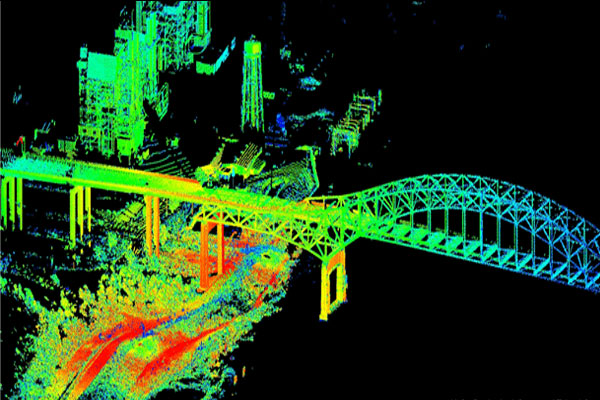
We make use of LiDAR, both ground and aerial data to create accurate topographical maps with precise elevation and location of objects. Our solutions find wide acceptance across multiple industries and are focused on Transportation, Oceanography, Forestry, Geological Mapping, Land Administration, Utilities and Location-based Services.
Scope of Our Work
We provide a wide range of services based on LiDAR mapping, including 3D Feature extraction from mobile laser scanner data.
Our LiDAR Mapping Services
We have grown to become a leader in the field of LiDAR mapping services. We provide a range of LiDAR mapping services , which can be customized according to your needs. Our LiDAR solutions include the following:
- Contour mapping
- Point cloud filtering and highlighting the contour
- Photographic adjustment using fusion of Digital Orthophoto with advanced Hyperspectral Imagery
- Mapping of the high waters and flooded plains
- Volumetric calculations synchronized with 3D modeling
- Corridor surveys
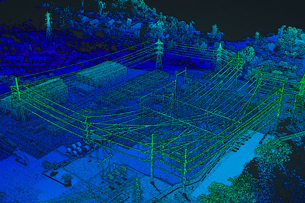
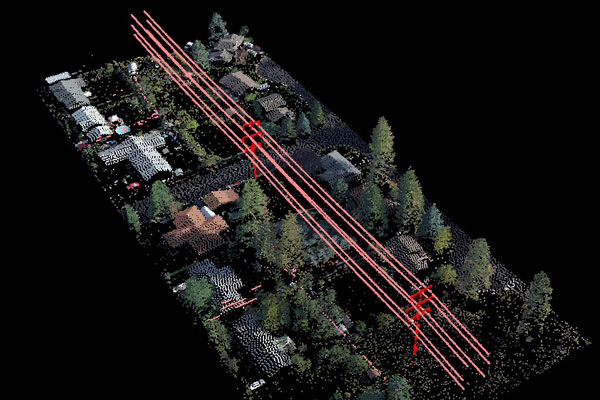
- Transmission lines processing
- Creation of panoramic images using terrestrial laser scanning
- Morphometry and Clinometry analysis for studying terrain slope and shape
- Integrating geological and geophysical information for developing LiDAR digital terrain models (DTM)
- Greater accuracy and speed in mapping
- Reliable volumetric determination and generation of 3D models
- Accurate ortho-rectified DEMs production
- Wide range of bare earth output formats like ASCII, CAD, ESRI and LAS
- Low cost LiDAR point cloud processing
Benefits of Outsourcing LiDAR Mapping
Outsourced LiDAR Mapping Services
Design Presentation is a leading service provider in the highly specialized field of LiDAR Mapping. If you are looking for experts in spatial technology, GIS, and LiDAR Mapping, you don’t have to look any further.
Contact us today for a free trial.
View Samples